Earthworks Project Management
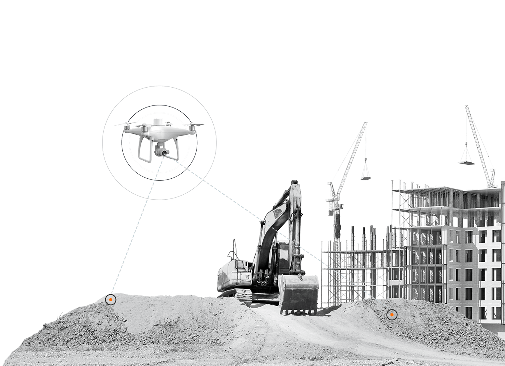
Kespry’s drone-based aerial intelligence platform enables construction companies to better manage earthworks projects with fast and frequent survey-grade accurate data.
Kespry’s drone-based aerial intelligence platform enables construction companies to better manage earthworks projects with fast and frequent survey-grade accurate data.

Read our whitepaper “How to Successfully Manage Earthworks Operations with Kespry” to learn more.
Learn MoreFrequent flights with Kespry ensure project plans are executed according to design plan criteria.
Watch our on-demand webinar “Drone Earthworks Planning, Bidding and Project Management” to learn more.
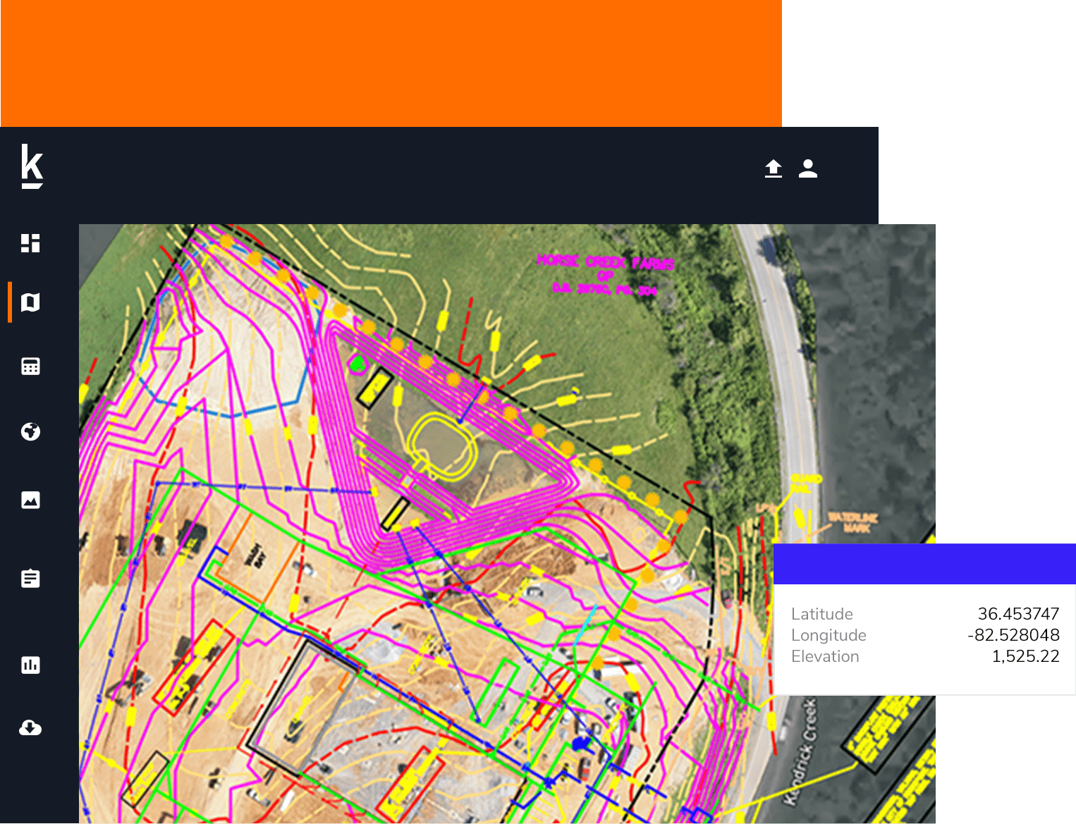
Kespry enables construction companies to track earthworks quantities on an as-needed basis to avoid rework or excessive material handling.
Watch our video “Progress Tracking with Kespry” to learn more.
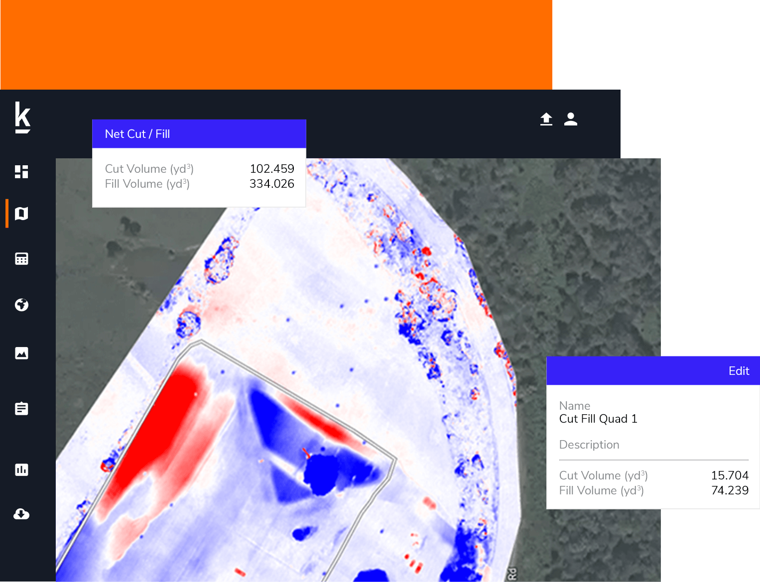
We use Kespry for comparison to see the high and low, and we can see the changes that have occurred. The color really contrasts to compare those flights over time to see where we've moved dirt and where we need to move dirt from one spot to another, and plan our work based on where that dirt is or where it needs to be.
Dan Liechty
Project Engineer, D&T Excavation
If we don't think the existing topo we're given once we get a project is accurate, we'll use Kespry to fly it to confirm how close the existing one is from the original print, to what actually is out there.
Justin Geiger
Technology Specialist, Ironclad Excavating
Ready to see how Kespry’s drone-based Aerial Intelligence platform enables you to rapidly and accurately survey and analyze stockpile inventories, comprehensively track large-scale worksites across industries, and inspect residential and commercial rooftops? Request a demo now and we’ll show you how our platform can work for you.
Request Demo