
The Drone-Based Aerial Intelligence Platform for Construction
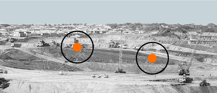
Kespry provides a complete solution for construction and engineering companies to better manage proposed and active earthwork operations. Without using multiple, cumbersome ground control points, survey-grade field data can be collected for an entire site in as little as 30 minutes.
0
minutes to collect survey-grade data for the entire site
0+
file formats supported for export
0x
reduction in field survey hours
Use Cases
Use Cases
Earthworks Management
With daily or weekly Kespry flights, site project teams benefit from an on-demand visual history of the latest earthworks activity. This enables them to know how much dirt has been moved, to calculate cut-and-fill volumes to track progress, and to keep their customers informed on progress.

Project Planning
Throughout a project, earthworks contractors are using Kespry to verify proposed earthworks quantities and create change orders with accurate, on-demand surveys. This maximizes profitability and enables a successful project for clients and contractor.

Kespry offers a way for us to put our customers minds at ease. It’s more accurate. I can fly the area in question and then they can start or continue filling the area back up with good material. So, now we know exactly the extent of any undercutting.
Justin Geiger
Technology Specialist, Ironclad Excavating

Everyone's biggest nightmare is to bid a job and then find out that it's different than what you're expecting. With Kespry, we can verify contours, elevations, and dirt without spending two-or-three days doing a topographical analysis with a GPS base and rover.
Dan Liechty
Project Engineer, D&T Excavation
